
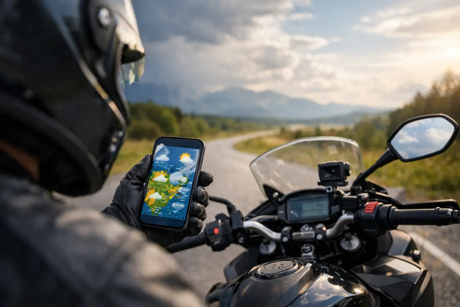
Our motorcycle weather app review explains which forecasts matter on two wheels, how radar can mislead, and how to plan safer, better rides on real routes.
A blue sky at breakfast can turn into wet pavement, crosswinds, and fog by the time you reach the next mountain pass. That is why a useful motorcycle weather app review cannot stop at a five-day forecast and a sunny icon. Riders need to know what conditions will do to the road, the route, and the day’s plan.
For a car trip, a passing shower might mean turning on the wipers. On a motorcycle, it can mean a slick patch under redwoods, a sudden temperature drop on a high-elevation road, or a gusty bridge crossing that changes your pace completely. The best weather tool is not necessarily the app with the prettiest map. It is the one that helps you make a better go, no-go, or reroute decision before your kickstand comes up.
Motorcycle Weather App Review: What Matters Most
Most mainstream weather apps are built for everyday life: Will it rain at home? Do I need a jacket? That is useful, but riders are rarely staying in one place. A proper ride may cover three climate zones before lunch. Think of a California run from San Francisco to Big Sur: marine fog near the coast, sunshine around Santa Cruz, wind near open bluffs, then cooler shade in the redwoods.
A motorcycle-ready forecast needs to answer four questions: When will conditions change, where on the route will they change, how intense will they be, and what is the practical consequence for a rider?
Hourly forecasts matter more than daily percentages. “Thirty percent chance of rain” is vague if you are planning a three-hour coastal loop. A timeline showing showers between 2:00 and 4:00 p.m. is far more useful. So is a forecast broken out by route stops or elevation bands, especially on trips that move from desert heat into mountain weather.
Radar is the next essential feature, but it needs context. A radar map can show a storm cell moving toward your route, yet it cannot tell you whether the road through a canyon will stay damp after the cell passes, or whether a high pass is dealing with low cloud and reduced visibility. Use radar to understand timing and direction, then pair it with hourly conditions, temperature, wind, and road-level judgment.
Wind deserves more attention than it gets. Sustained winds are manageable for many experienced riders. Gusts are what catch people out, especially when a route crosses exposed desert, farmland, ridgelines, coastal headlands, or long bridges. If an app reports 18 mph winds with 35 mph gusts, that should shape your plan even when rain chances are zero.
The Best App Depends on the Ride
There is no single weather app that wins every kind of motorcycle trip. The right choice depends on whether you are commuting across town, chasing twisties for a day, or running a multi-day vacation route on a rental bike.
For fast day-ride decisions: Radar-first apps
Apps such as MyRadar are useful when the question is immediate: Can I leave now and beat that rain band? Their strength is a quick visual read of precipitation movement. They are particularly handy in places where afternoon thunderstorms are common, including the Rockies, the Southeast, and much of the Midwest.
The trade-off is that radar-first apps can tempt riders to focus only on rain. A clear radar image does not mean ideal conditions. Cold pavement, dense fog, strong wind, and icy temperatures at elevation may be the real issue. Use radar as a short-term decision tool, not the entire forecast.
For wind and broader route patterns: Windy
Windy is a favorite among riders planning bigger days because its map layers make weather systems easier to understand. Wind direction, gusts, rain, cloud cover, temperature, and wave conditions are all useful when a route includes exposed terrain or coastal roads.
This is where it earns its place for adventure riders and touring riders. Before committing to a Utah backcountry route or a Pacific Coast Highway day, you can see whether the weather is moving inland, riding up the coast, or building over the mountains.
Its weakness is speed. Windy gives you a lot to interpret, which is great when you have ten minutes to plan and less great when you are geared up outside a rental shop. Newer riders may find the visual layers more useful after they have learned what wind arrows, pressure patterns, and forecast models actually mean.
For local conditions: Weather Underground and station-based forecasts
Station-based weather tools can be excellent for checking microclimates. In mountain towns, valleys, and coastal communities, nearby personal weather stations sometimes reveal conditions that a citywide forecast smooths over. That matters on routes with rapid elevation changes or localized marine layers.
The limitation is consistency. A personal station may be offline, poorly placed, or simply not close enough to your actual road. Treat it as an extra data point, not the final word. If one station shows dry conditions but radar and the hourly forecast show a front arriving, plan for the front.
For official alerts: National Weather Service forecasts
For major weather events, official alerts are hard to beat. Watches, warnings, flood information, heat advisories, winter-weather notices, and hazardous wind alerts carry more weight than a generic weather notification. This is especially relevant for long-distance trips, remote roads, and shoulder-season rides through mountain country.
The presentation is often less polished than commercial apps, but that is not the point. When conditions have the potential to close roads, create flash-flood risk, or turn a scenic pass into a bad idea, official guidance should influence the route.
Where Weather Apps Get Motorcycle Trips Wrong
The common failure is forecasting a destination rather than a ride. If you search the weather for Asheville, North Carolina, but your route climbs onto the Blue Ridge Parkway and drops into several valleys, you have only checked one piece of the day.
Elevation is the biggest blind spot. Temperature can fall quickly as you climb, and that difference becomes more consequential in rain, shade, or early-season conditions. A forecast of 58 degrees in town may translate to chilly, wet conditions on the ridge. On the other end of the scale, desert routes can become dangerously hot long before the app’s daily high makes the risk feel real.
Another blind spot is timing. Rain at 7:00 p.m. may not matter if you are already at your hotel. Rain at 1:30 p.m., halfway through a no-fuel stretch or on the technical portion of your route, absolutely does. This is why riders should look at the hourly forecast for key waypoints rather than only checking the starting point and final destination.
Then there is the false confidence of averages. Forecast models are good, but they are not promises. In mountainous terrain and near the ocean, conditions can shift faster than an app refreshes. Build margin into the plan. Carry a layer even if the day starts warm, keep rain gear accessible rather than buried at the bottom of luggage, and identify an easier exit route before you need one.
A Better Pre-Ride Weather Check
Before a day ride, check the forecast at home, the furthest point of the route, and the highest or most exposed section. Look at hourly precipitation, temperature, sustained wind, gusts, and radar. If you are riding into remote terrain, also check official alerts and whether recent rain could affect dirt, gravel, or low-water crossings.
For a weekend or vacation ride, repeat that check each morning. Do not let the itinerary become a trap. A route planned weeks ago may be perfect on paper but wrong for the conditions in front of you. Swapping a high pass for a lower-elevation scenic loop is not settling. It is how experienced riders keep the trip fun.
This is also where purpose-built trip planning is more useful than bouncing between tabs. CharterNow.ai pairs live weather insights with a route built around your dates, riding style, skill level, and available time. Instead of checking a forecast for a whole city and hoping it applies, you can plan around the actual roads you intend to ride.
The Verdict: Use a Weather Stack, Not One App
A single app can get you out the door, but a small weather stack makes better decisions possible. Use a radar-focused app for timing, a map-based tool for wind and system movement, and official alerts for serious conditions. Then read the forecast like a rider: ask what it means on wet pavement, in a shaded corner, over a pass, or on a loaded rental bike you are still getting used to.
The forecast should shape the ride, not kill the adventure. Leave earlier to avoid heat, choose inland curves when the coast is socked in, or save the technical road for tomorrow when the pavement is dry. The road is waiting. The smart move is making sure it is the right road for today.