
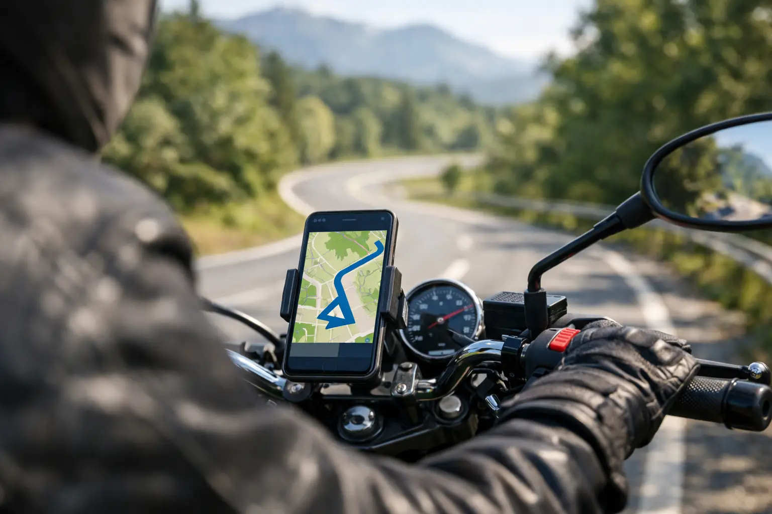
Choose a turn by turn motorcycle navigation app that fits your ride, with weather, route quality, offline guidance, and safer on-road setup for rides.
The wrong turn by turn motorcycle navigation app can turn a ride you planned for twisties into 40 miles of stoplights, freeway ramps, and a dead phone battery. The right one does more than announce the next left. It helps you stay focused on the road, adjusts to changing conditions, and gets you to the good part of the day without making the screen your main destination.
For riders, navigation has a different job than it does in a car. A motorcycle route needs to account for fuel range, changing temperatures, road surface, cell coverage, weather exposure, fatigue, and the simple fact that pulling over to fix a missed turn is more of a production. Whether you are renting a bike in California for a Big Sur run or leaving home for a Sunday loop, here is what makes a navigation setup worth trusting.
What Riders Need From Motorcycle Navigation
A good route on paper is not necessarily a good ride. The fastest option may put you on a straight interstate for two hours. The scenic option may send a newer rider down a narrow, poorly maintained mountain road with gravel in the corners. A motorcycle-specific navigation experience should help you choose the kind of road that fits the bike, your skill level, and the time you actually have.
That starts before the first turn. Look for route preferences that let you favor curvy roads, avoid highways, or build a loop rather than a one-way point-to-point trip. Those settings are useful, but they are not magic. An app cannot always know about fresh chip seal, a road closure behind a canyon bend, or a popular viewpoint parking lot that is already full. Treat suggested routes as a smart starting point, then apply rider judgment.
The best tools also make it easy to add intentional stops. A fuel stop before the empty-light gamble, a coffee break after a technical stretch, or a viewpoint that gives passengers a reason to get off the bike can make a ride feel planned instead of rushed. On a multi-day trip, those stops also create natural checkpoints for weather and energy levels.
Turn by Turn Motorcycle Navigation App Features That Matter
Clear prompts beat constant screen checking
Voice guidance is one of the most useful features on a motorcycle, especially when paired with a helmet communicator. The instructions should arrive early enough to prepare for a turn, not bark at you once you are already in the wrong lane. Clear lane guidance matters in cities and near unfamiliar interchanges. On a back road, a simple distance-to-turn prompt is often enough.
Audio is not perfect. Wind noise, earplugs, exhaust, and an intercom conversation can all bury a prompt. Use audible cues as backup, not as a reason to stop scanning road signs. If your setup supports it, keep the display visible at a glance with a high-contrast map and oversized next-turn information.
Offline maps are not optional in the mountains
Cell service disappears exactly where many of the best roads begin. Think Angeles National Forest, the Sierra foothills, sections of the Blue Ridge, Utah canyon country, or a remote desert route between fuel stops. Download regional maps before leaving town, and confirm that the app can provide route guidance offline, not merely display a cached map.
Offline capability is also useful for fly-and-ride travelers. Airport Wi-Fi and a rental counter are not the places to discover your data plan is limited or your roaming connection is slow. Load your route, save key destinations, and keep the rental return location pinned before you roll out.
Weather should change the plan, not just the packing list
A route that looks perfect at 8 a.m. can be a bad bet by noon. Coastal fog, mountain thunderstorms, extreme heat, high winds, and early-season snow all affect how and where you ride. Weather information is most valuable when it is tied to timing: temperatures at elevation, rain chances during a particular leg, and wind exposure on open roads.
If the forecast shifts, do not stubbornly ride the original plan. Shorten the loop, take a lower-elevation route, move the technical pass to tomorrow, or build in a longer stop. The goal is not to complete every mile you saved on a map. The goal is to finish the day with a good story and enough energy to ride again.
Route quality needs context
Many navigation tools can identify curvy roads. That is useful, but curves alone do not define quality. A tight, blind, off-camber road may be a highlight for an experienced rider on a light bike and a stressful surprise for a newer rider carrying luggage two-up.
Before committing to a route, check the total mileage, estimated moving time, elevation changes, fuel availability, and the type of road you are likely to encounter. Be realistic about pace. A 180-mile mountain loop can take longer than a 300-mile highway day, particularly with photo stops, construction, traffic, and slower riders in the group.
Set Up the Ride Before Gloves Go On
The safest navigation routine is the one you complete while parked. Build or review the route, download maps, check the forecast, and set audio volume before you leave. If you are using a phone, mount it securely, connect it to power if possible, and keep a backup charging cable in your bag.
Heat and vibration deserve attention. Phones can overheat in direct sun, especially while charging behind a windscreen. Vibration can also affect some phone cameras over time. A vibration-damping mount, shade where practical, and an occasional stop to let the device cool can prevent a navigation problem halfway through the ride.
Do not make major route edits at a stoplight or while rolling through a turnout. Pull fully off the road, take off a glove, and make the change deliberately. The extra two minutes are cheaper than missing a hazard because you were trying to zoom a map with one hand.
For group rides, share the planned route in advance, but do not assume every rider has the same app, data connection, or comfort level. Agree on fuel stops and key regroup points. A group that knows the next meetup can keep moving safely when someone misses a turn or chooses to ride at a different pace.
Plan for the Ride You Actually Want
Navigation becomes far more useful when it starts with your riding goal. Are you looking for a relaxed coastal cruise, a half-day loop with beginner-friendly curves, a technical mountain route, or the fastest way from a hotel to a national park? Those are different requests, and they should produce different roads.
This is where motorcycle trip-planning tools can fill the gap left by general map apps. CharterNow.ai, for example, builds itineraries around destination, available time, rider experience, preferred motorcycle style, weather, and route intensity. That matters for a visitor choosing between a relaxed San Francisco coastal day and a more demanding mountain ride, as much as it does for a local rider trying to escape the city for a few hours.
A rental bike adds another layer. A big touring motorcycle with luggage, a low-slung cruiser, and a lightweight adventure bike each feel at home on different roads. Be honest about your experience with the particular machine, not just how long you have held a license. If you have never ridden a heavy bagger on a steep downhill switchback, a mellow first day is a smart move, not a compromise.
When to Ignore the App
Navigation is guidance, not authority. Ignore it when it asks you to make an unsafe maneuver, turn across a confusing intersection, ride through a closure, or continue into conditions that do not match your comfort level. A missed turn is usually an inconvenience. A rushed U-turn on loose gravel can become the whole day.
It is also wise to override the route when your body gives you better information than the map. If your hands are numb, your passenger is restless, the heat is draining you, or you are mentally behind the bike, stop. Get water, fuel up, or call the ride early. The road will still be there.
A turn by turn motorcycle navigation app earns its place on the bars when it supports the ride instead of demanding attention from it. Set it up well, use it to find the roads that match your day, and leave room for the detour that looks too good to pass up. The road is waiting. Are you ready?