
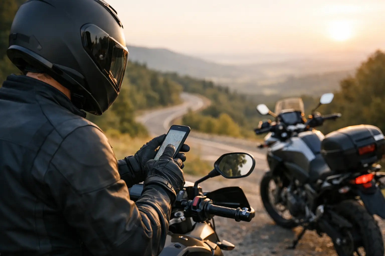
Find the best apps for motorcyclists for navigation, weather, safety, fuel, and smarter US road trips, from local loops to fly-and-ride vacations easily.
A great ride can come apart fast when the road closes, a mountain storm moves in early, or the next fuel stop is 40 miles farther than expected. The best apps for motorcyclists do not replace rider judgment, but they do cut down the guesswork before and during the ride.
The trick is not loading your phone with every motorcycle app available. It is building a small toolkit that fits how you ride. A rider carving a three-hour loop out of Los Angeles needs different information than a fly-and-ride traveler crossing Colorado or an ADV rider leaving pavement in Utah.
The best apps for motorcyclists, by job
1. CharterNow.ai for planning the ride before it starts
Route planning is where many trips become unnecessarily complicated. You may have a map app open in one tab, a weather forecast in another, rental listings somewhere else, and five old forum threads offering conflicting advice about the best road.
CharterNow.ai is built to handle that early planning stage in one conversation. Tell it where you are going, your dates, available riding time, skill level, motorcycle style, and what sounds fun - coastal cruising, twisties, scenic stops, or a relaxed first day on a rental. It can shape those details into a motorcycle-specific itinerary with route ideas, ride times, weather context, highlights, and rental suggestions.
It is especially useful for visitors who do not know whether a famous road is a realistic day ride from their hotel. A San Francisco rider may know the difference between a quick Marin loop and a full Big Sur day. A traveler arriving from out of state often does not. Start with a purpose-built plan, then send the finished route to your preferred navigation app. No account needed to begin exploring.
2. Google Maps for everyday navigation and rerouting
Google Maps remains the practical default for finding your way through cities, locating hotels, checking business hours, and rerouting around an unexpected closure. Its strength is not motorcycle-specific routing. Its strength is current place data.
Use it to find a fuel station near the actual road you are on, not the one you marked last night. Download offline maps before entering weak-service areas such as Death Valley, the Sierra foothills, or long stretches of the Southwest. For scenic rides, review its proposed route carefully. The fastest line can send you around the good stuff.
3. REVER for motorcycle route discovery and tracking
REVER is a natural fit for riders who want to find established motorcycle routes, record rides, and keep a personal map of where they have been. Its community routes can provide a useful starting point when you are looking for a weekend loop near a new city.
Treat public routes as ideas, not guarantees. Check the current surface, seasonal closures, and total mileage yourself. A route that was perfect on a light adventure bike in October may be miserable on a loaded bagger after spring rain. REVER works best when you use it for inspiration and ride logging, then validate the details with navigation and weather tools.
4. Calimoto for finding curvier paved roads
If the goal is lean angle rather than arrival time, Calimoto is worth a look. Its routing focuses on winding roads, which can turn an ordinary afternoon into a route with far more character than the standard highway option.
That said, more curves are not always better. Aggressively twisty routing can add substantial time, fuel use, and fatigue. It can also favor narrow roads with poor pavement, blind driveways, or debris after storms. Set a realistic destination and time limit, especially if you are riding unfamiliar terrain near sunset.
5. Scenic for iPhone route building and navigation
Scenic is popular with iPhone riders who want to create a precise route with planned stops and follow it in a motorcycle-friendly navigation view. It is particularly handy for a multi-day tour where you want to make sure the route actually passes a viewpoint, lunch stop, or specific mountain road.
The value here is control. Rather than hoping an app understands why you want Highway 1 instead of inland freeway miles, you can shape the route around the roads you came to ride. Build the route before breakfast, not while wearing gloves at a gas station.
6. onX Offroad for dirt, desert, and backcountry access
For adventure riders and dual-sport travelers, onX Offroad can be more useful than a conventional navigation app. It helps identify trails, public-land access, and off-pavement routes where the critical question is not just where the road goes, but whether you can legally and practically ride it.
Do not confuse a line on a map with a beginner-friendly trail. Deep sand, ledges, water crossings, and loose climbs can change with a season or a single storm. Check vehicle restrictions, bring enough water, and leave a conservative margin for getting back out before dark.
7. Gaia GPS for detailed offline backcountry maps
Gaia GPS is a strong companion when your route moves beyond cell coverage and detailed terrain information matters. Layered map options can help riders understand elevation, land boundaries, and the shape of the terrain before committing to a remote section.
It has a learning curve, and that is the trade-off. A casual Sunday rider may never need this level of detail. But for a BDR-style trip, a remote camping ride, or a long ADV route, offline maps are cheap insurance against the moment your phone loses signal and the next intersection offers three unmarked choices.
8. Drive Weather for timing the weather window
A standard weather app tells you what conditions look like at home or at a destination. Drive Weather is more useful for a moving ride because it shows weather along the route and estimates when you will reach different points.
That matters on roads such as the Blue Ridge Parkway, California mountain passes, or the high country around Rocky Mountain National Park. Leaving an hour earlier can mean cool pavement and clear views instead of riding into afternoon thunderstorms. Forecasts are still forecasts, so use the app to make a better call, not to justify a bad one.
9. RadarScope for reading active weather
When storms are close, radar beats the generic rain icon. RadarScope gives riders a more detailed view of precipitation, storm movement, and weather warnings. It is most valuable when a ride includes exposed mountain roads, desert heat, or areas known for fast-building summer cells.
You do not need to become a meteorologist. Learn enough to see whether a cell is moving across your intended pass, whether there is a clear gap behind it, and whether the smart move is an early lunch or a full turnaround. Lightning, hail, and high winds are not problems to out-ride.
10. GasBuddy for fuel prices and station scouting
GasBuddy is simple, but it earns its place on longer rides. It can help locate fuel and compare prices, particularly in expensive tourist corridors or when you are traveling on a rental with a smaller tank than your usual bike.
For motorcycle travel, station location matters more than saving a few cents. In remote areas, fill up when you have the chance instead of trusting an app's estimate of the next open station. Hours can be outdated, pumps can be down, and a road closure can turn a 20-mile fuel plan into an 80-mile detour.
11. EatSleepRIDE for ride recording and safety features
EatSleepRIDE combines ride tracking with motorcycle-focused tools, including its Crashlight safety feature in supported setups. For riders who travel solo, automatic ride tracking can create a useful record and provide an extra layer of reassurance for people waiting at home.
No crash-detection feature should be your only safety plan. Carry identification, keep your phone charged, and tell someone where you are headed when riding remote roads. The app is a backup, not a substitute for preparation.
12. Find My or Google Maps location sharing for your ride day
The least glamorous app on this list may be the one your family appreciates most. Apple Find My and Google Maps location sharing let a trusted contact see your location during a ride. That is helpful on solo tours, unfamiliar rental trips, and any day that includes low-traffic roads.
Share selectively and set expectations. Let someone know your planned route, your expected return time, and when they should actually worry. A missed check-in after a long lunch is different from disappearing halfway through a remote mountain loop.
Build a setup that matches the motorcycle and the trip
For a local paved ride, you may only need a route app, Google Maps, and weather radar. For a multi-day vacation, add offline maps, fuel planning, ride tracking, and location sharing. An ADV trip deserves an even more conservative setup: downloaded maps, spare power, paper backup for critical areas, and a route that matches your bike, tires, and actual off-pavement experience.
Keep the phone usable, too. Mount it securely, protect it from rain and vibration, carry a charging cable or battery pack, and set navigation before rolling away. Stopping for a safe route check is always better than trying to interpret a tiny screen in traffic.
The road is waiting, but it does not reward rushed planning. Pick a few tools that make your route clearer, leave room for a roadside detour or a long overlook stop, and ride the day that fits the conditions in front of you.