
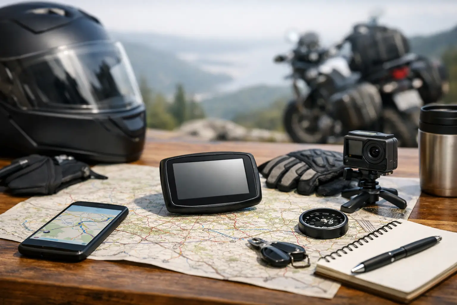
Compare the best motorcycle trip planning tools for routes, weather, navigation, and rentals, then build a ride that fits your time and skills with care.
A great motorcycle trip can fall apart before the first tank of fuel if the route looks good on a map but is packed with construction, cold rain, city traffic, or miles of dead-straight highway. The best motorcycle trip planning tools help you plan around the ride you actually want: a relaxed coastal cruise, a confidence-building day loop, or a hard-earned day of mountain twisties.
No single app is perfect for every rider. Some are excellent at finding curvy pavement but weak on lodging or rentals. Others are brilliant for navigation but do not understand that a 200-mile ride on Highway 1 is a very different day than 200 miles on I-5. The smart move is to pick a primary planning tool, then use one or two supporting tools to confirm weather, fuel, and road conditions.
What Makes a Motorcycle Planning Tool Worth Using?
Motorcycle planning is not just pinning a destination and accepting the fastest route. A useful tool should let you shape the road between stops, estimate realistic saddle time, and account for the conditions that affect riders more than car travelers.
For a weekend in Northern California, for example, a route planner should help you decide whether a Big Sur ride is realistic from San Francisco, where to stop before fuel gets thin south of Carmel, and whether fog or rain will make a coastal route less enjoyable than an inland alternative. If you are flying in and renting, it should also make it easier to align the route with rental availability and pickup location.
The features that matter most are route customization, offline navigation, weather visibility, accurate timing, fuel and rest-stop planning, and an interface that is easy to use with gloves off once you are rolling. Here are seven tools that cover those needs in different ways.
1. CharterNow.ai for a Complete Motorcycle Trip Plan
CharterNow.ai is built for the rider who does not want to spend an evening hopping between maps, forecast tabs, route forums, and motorcycle rental sites. You describe the trip in a conversation: destination, dates, available ride time, experience level, motorcycle style, and what sounds fun. The platform builds a personalized itinerary around that input.
That makes it particularly useful for vacation riders and fly-and-ride travelers. A visitor planning three days around Los Angeles may want coastal scenery and canyon roads without accidentally choosing intimidating pavement on the first day of a rental. An experienced rider based in San Diego may want the opposite: a longer loop with technical corners, high-desert views, and realistic time estimates.
The value is in putting route recommendations, live weather insights, ride times, scenic stops, turn-by-turn navigation, and nearby rental options in one motorcycle-specific plan. It is not the right choice if all you need is a quick address search on your daily commute. It is a strong starting point when the ride itself is the reason for the trip.
2. Google Maps for Familiar Navigation and Practical Stops
Google Maps is still the default utility player for many riders. It is easy to search for a gas station, coffee stop, hotel, pharmacy, or motorcycle shop when plans change halfway through the day. Its traffic data can also save a ride when a major freeway approach is backing up.
The trade-off is that Google Maps tends to think like a car navigator. Its fastest route can skip the very roads you came to ride, and its travel-time estimate may not reflect photo stops, slow switchbacks, traffic behind RVs, or the fact that you are riding two-up with luggage.
Use it as a dependable reference tool and for quick reroutes. For a scenic trip, create your route elsewhere first, then add enough waypoints in Google Maps to keep it from funneling you back onto the interstate.
3. REVER for Community Routes and Ride Tracking
REVER is a natural fit for riders who want route inspiration from people who ride. It combines route discovery, planning, navigation, and ride tracking, with a large collection of shared rides across the United States. If you are heading to places like the Blue Ridge Parkway, the Tail of the Dragon, or the Colorado Rockies, community routes can reveal worthwhile roads that a standard map will not highlight.
The useful part is not blindly following another rider's track. Treat shared routes as local intelligence. Read the route description, check the distance, and look at where the fuel stops fall. A 250-mile route created by a local on a lightweight naked bike may feel very different on a loaded touring motorcycle in late-afternoon summer heat.
REVER works well for riders who enjoy logging miles and revisiting past rides. It is less ideal if you want an itinerary that automatically considers rentals, rider ability, and the broader travel plan.
4. Calimoto for Finding Curves Close to Home
Calimoto has earned a loyal following because it focuses on the fun part of route planning: curvy roads. For a free Saturday with no fixed destination, it can help turn a vague urge to ride into a loop that avoids the dullest miles.
This is especially handy when you know your local area but have fallen into the same three routes. Set your starting point, choose a general direction or destination, and use it to uncover backroads that make a familiar region feel new again. It can be a strong companion in areas with dense networks of paved county roads, such as the Appalachians, Hill Country, or Northern California foothills.
Curvy does not always mean better. Tight roads can mean poor pavement, blind driveways, limited passing opportunities, and slow average speeds. If you are new to riding, carrying a passenger, or trying to reach a hotel before dark, balance the twisties with a route that has straightforward bail-out options.
5. Roadtrippers for the Stops Between the Curves
A motorcycle trip is often remembered for the roadside diner, overlook, strange little museum, or swimming hole as much as the road. Roadtrippers is useful for building those stops into a broader road-trip itinerary. It is a practical choice for couples, groups, and riders traveling with non-riding friends or family.
Rather than using it to choose every corner, use it to organize the day around meaningful breaks. On a ride through Arizona, that might mean setting a fuel stop before a long remote stretch, a lunch stop in Jerome, and a sunset arrival near Sedona. On a Pacific Coast trip, it can help prevent the classic mistake of passing every worthwhile viewpoint because the day was planned only around mileage.
Its motorcycle limitation is route character. It will help you find what to do along the way, but it is not primarily designed to distinguish a flowing two-lane road from a forgettable connector highway.
6. Gaia GPS for Adventure Routes and Offline Confidence
For dual-sport and adventure riders, Gaia GPS is one of the more useful tools for examining terrain, public-land boundaries, trail networks, and downloaded offline maps. When the plan includes forest service roads, desert routes, or areas with weak cell coverage, that extra map detail matters.
It also encourages better preparation. Before committing a big adventure bike to an unpaved section, inspect the route, identify exit points, download the maps, and carry enough water and fuel. A blue line on a map does not tell you whether recent rain turned a dirt road into gumbo or whether a seasonal closure blocks the route.
Gaia GPS has a learning curve, and that is the trade-off. It rewards riders who like map work and self-reliance. For a simple paved weekend loop, it may be more tool than you need.
7. Scenic for Clean, Motorcycle-Friendly Navigation
Scenic is popular with riders who want a more purpose-built navigation experience, especially when importing routes and following a planned day on a phone. It is designed around motorcycle route files and riding workflows rather than acting like a generic car navigation app.
This can be valuable on a multi-day trip where you have carefully built each day in advance. A good navigation tool should make it easy to see the next turn, manage stops, and recover if you miss a waypoint without forcing you to rebuild the entire plan at a gas station.
As with every navigation app, mount the phone securely, carry a charging solution, and download routes before leaving reliable service. A route is only useful if it remains available after you cross the point where cell coverage disappears.
How to Combine the Best Motorcycle Trip Planning Tools
The strongest setup is usually a small stack, not seven apps open at once. Start with one tool that helps design the trip around your riding goals. Then use a navigation app you trust on the bike, plus weather and road-condition checks before departure.
For a California weekend, that could mean using a motorcycle-specific planner to build a Monterey-to-Big Sur loop, checking the marine forecast the night before, and keeping Google Maps ready for a detour around a closure. For an adventure ride in Utah, your stack may lean more heavily on Gaia GPS, offline maps, fuel-range planning, and local land-management alerts.
Do not plan every mile too tightly. Leave room for a slow breakfast, a photo stop, an unexpected road closure, and the one overlook that deserves 20 extra minutes. The best rides have structure, but they still feel like freedom.
Before you pack the bike, build a route that matches your real time, your real skill level, and the weather waiting beyond the next ridge. Then put the phone away when the road earns your full attention.